Remote sensing, a Reconciliation with C. River
Vivian Hernández Ramírez
Digitale Medien BA
bei Prof. Ralf Baecker,
Prof. Andrea Sick
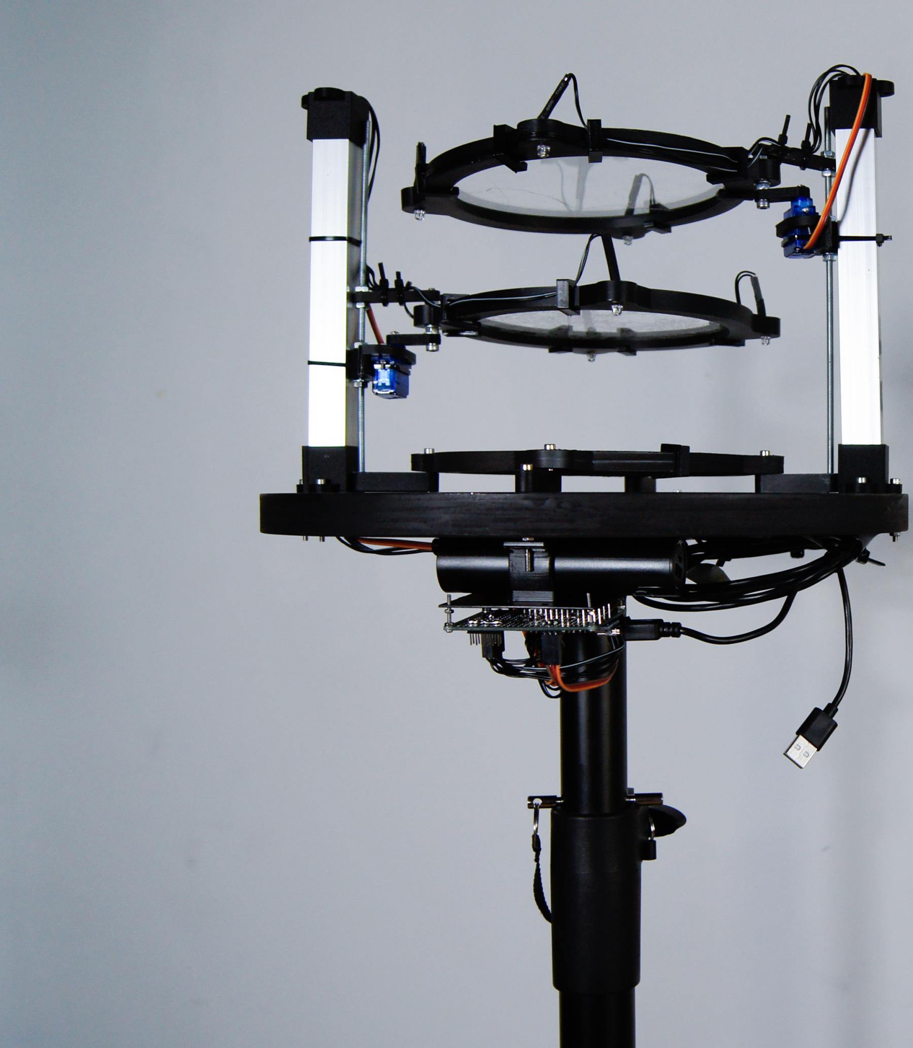
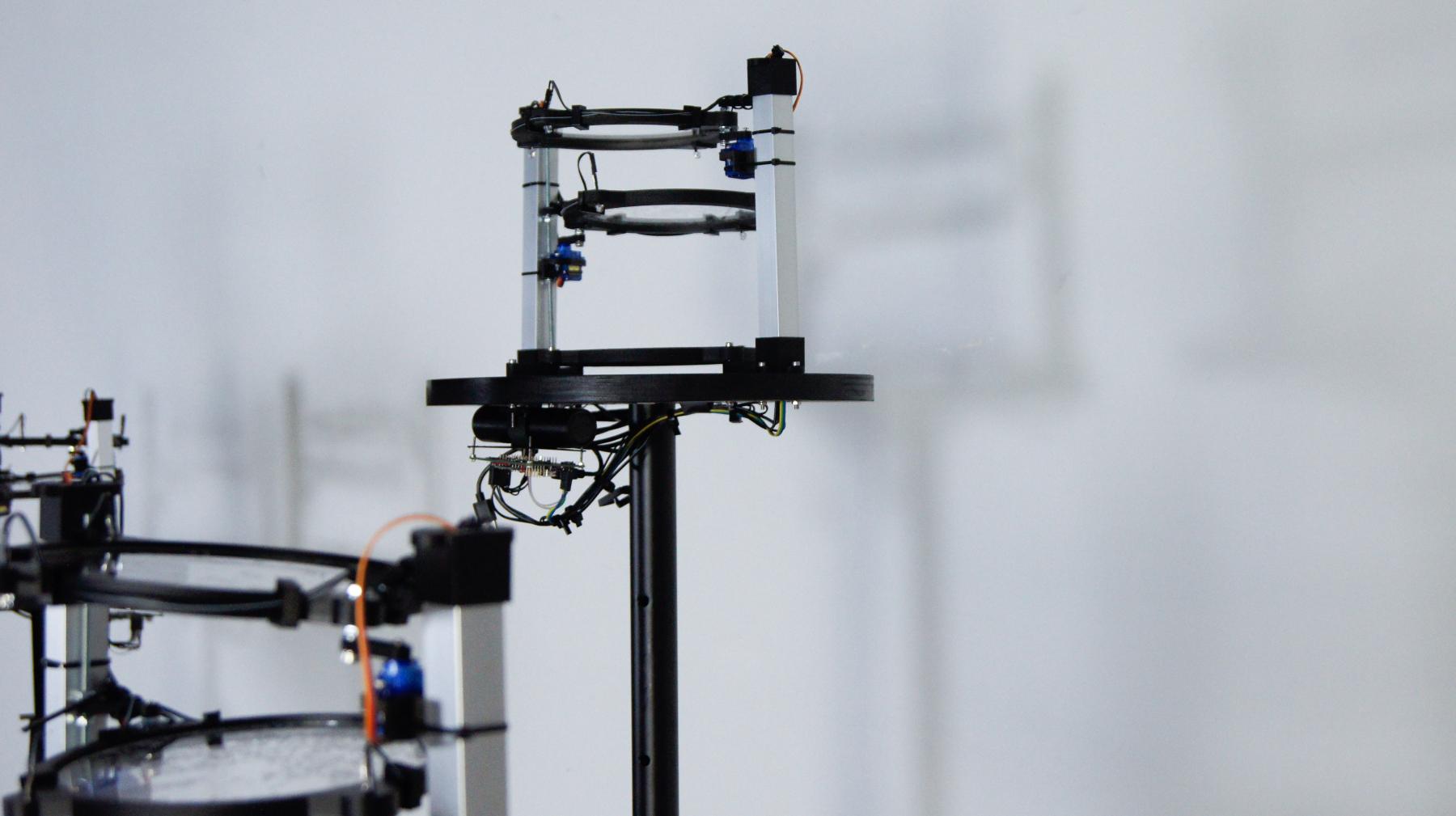
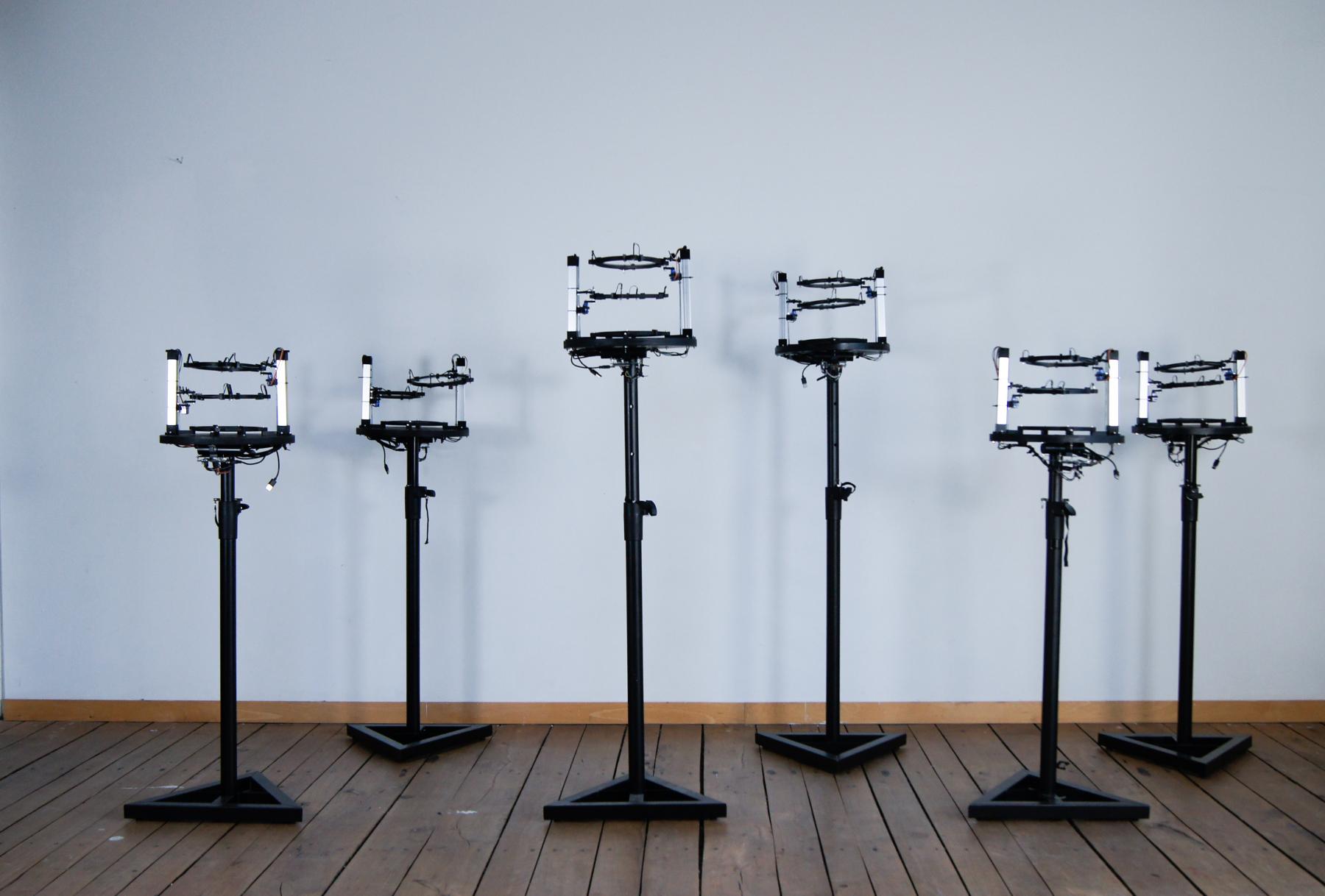
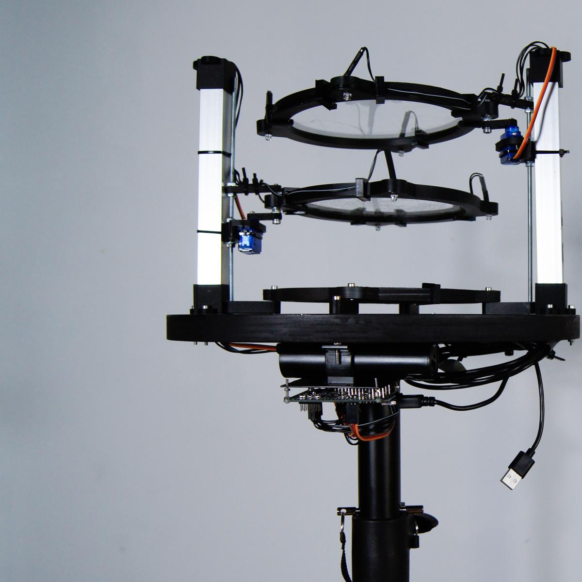
Remote sensing, a Reconciliation with C. River is an experimental data visualization, and political project, which aims for the restoration of the relationship between an area and its history. Between 2018 and 2019 the C. river suffered an abrupt diversion caused by the construction of a hydroelectric dam. This was undoubtedly an environmental mistake, which led to irreparable damage to the area and the communities living along its banks. In order to tell the story of the C. River from a new perspective, I reconstructed the environmental impacts of the construction of the dam, using satellite information, and data from geographical remote sensing tools. An NDVI index is used to translate this information into an installation that represents the changes the C. river has suffered. Methodologically this project will consider the social context under a decolonized post humanist perspective, challenging not only geopolitical processes through assuming a new ecological perspective by accounting for non-human actors as political.